
And it was no accident I got to know Malcolm better, even with Parkinson’s as the big elephant in the room, in his hopes to craft a new project–Renaming California–not about the renaming of the state or renaming statues, but the reintegration and restoration of indigenous place-names, maps of forest and river use, and even maps of sacred places, despite the ethical questions of disclosure of private knowledge this raises. While the name was never sure to win consensus, the project was a map that was close to the ground, with full participation of local tribes, and even integration of local mapmaking practices, rather than privileging of a western model. The foreign nature of such a world to one of industrial time painted the compelling idealistic picture in which, free from the constraints of clocks, “One harvest followed another in a great yearly cycle. There were trips to the seashore for shellfish, to the rivers for salmon, to the marshes for ducks and geese, to the oak groves for acorns, to the hills and meadows for seeds, roots, and greens, to quarries for minerals and stones, and other trips for milkweed fiber, hemp, basket materials, tobacco, and medicine.
As was renewed attention to the counter-map provided by habits of indigenous in acting as stewards of the land, at a time when many worried that the fears of development for larger populations–even before freeways were built. Gary Snyder promoted the ritual orders of Pueblo Indians of North America as embracing the human, nonhuman, and animal kingdoms in dance, mime, song, and ceremony in ways grievously absent from modern consumer society, expanding the role of the poet as a poetic resistance to the state, defending it from being logged in ways that destroyed its sacred groves. in The Old Ways (1977), and feeling deep terror at apprehending the loss of natural habitat and animal extinction as a cultural suicide due to the increased urbanization of once wild space, and need to take immediate action to defend against environmental pollution both by energy consumption and chemical poisons that stood to change the landscape by waste, industrial by-products, and pesticides without regulation, bemoaning the readiness to continue “fouling our air and water and living in noise and filth that no ‘animal’ would tolerate,” but that our governments endorse in 1969, urging “trampling underfoot wasteful freeways and needless suburbs” and imagining a world “free of cars, houses, canned food, universities, and shoes“– “Smokey the Bear Sutra” (1969) calls for protection of “those who love woods and rivers, Gods and animals” calling for a collective vision creating a safer environment for “all the creatures [to] have the full right to live to their limits and that deer, rabbits, chipmunks, snakes, dandelions, and lizards all grow in the realm of Dharma“–extending, for Snyder, from true centers power at Big Sur, Mount Rainier, the Grand Canyon, the Everglades, and Walden Pond, to the rest of the United States and world.
These sites–several of which had been saved due to the Sierra Club’s actions and Wilderness Act–animated a nation the current state might “practically wreck everything in spite of its one strong intelligent” nature. Malcolm’s work offered what seemed the needed appreciation of precedents of needed evidentiary proof. With time divided by attentiveness to the natural world, and ripening and harvesting more than global markets, Margolin the hippy valued that the Ohlone life as divided into “characteristic rhythm.” Perhaps the hope in tracing land names was for a full expression of respect that he wanted, lest any of his previous work be misunderstood–and a deep commitment to an image of a state not divided into something like fixed bounds of counties, and the questions of the division of locally determined place-names and river names was one we wrestled.
We contemplated in collective meetings in the late year of Malcolm Margolin, the value of the overlapping blurred boundaries. Online cartographic platforms as NativeLands.ca offer new ability to use online servers to dislodge embedded preconceptions of clear boundaries that have structured much of ownership inherited from the Enlightenment. For the straight lines of boundaries failed to clarify the overlaps in shared territoriality that the legal template of land cessions that removed native lands to Anglo property owners or the state had failed to clarify in maps. After all, the questions of indigenous land possession, especially for California tribelets who had long simultaneously worked land and resources over a vast expanse,–without ever laying distinct claims to a bordered territory, which might be seen as an un-“Australizing” of lands by stripping conventional bearings of north, south, west and east to a allow an overlap of indigenous lands–citing the case of Australia to review the intense survival of distinct indigenous land claims to what has been cast as the southernmost continent–
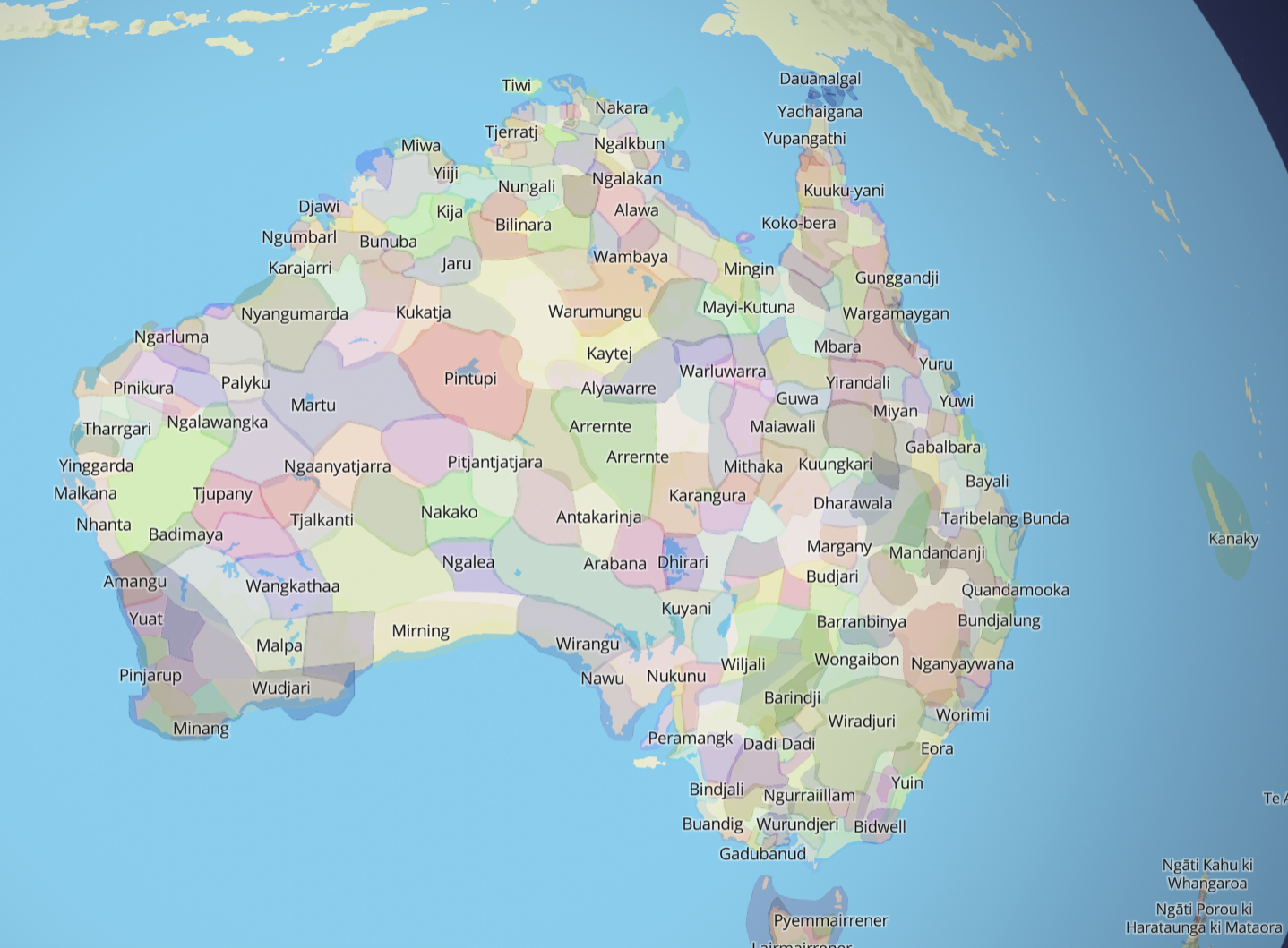
–to open up lands that are inhabited to better orient “us” the observer to the ways that the land was occupied.
I imagined a push to a similar flexibility of boundaries from fixed lines might be able to provide and offer a plurality of experiences of “California” in multiple languages, in which viewers were invited to toggle between difference screens to examine? Could the computer interface accommodate the very plurality of perspectives over the same land that Kroeber had, if in quite pioneering manner, taken as “boundaries”–and that might be a starting point to accommodate the plurality of perspectives that our project might be able to extend to small-scale ways to accommodate place-names and their history in ways that might cascade across the screen to expand the viewer’s knowledge and sense of place? This might be an online map that viewers could use by handhelds to negotiate their own place in the lands, in ways that were absent from Kroeber’s circa 1922 static boundaries–themselves a product of the map of reservations, even if they expanded them to the state. Was not the shift in perspective blurred boundaries offered far more awesome and extraordinary, to suggest an alternative relation to viewing space?
The constraints of the two-dimensional map are powerful, if not purblind, but the attempts to represent the overlapping nature of ancestral lands of native peoples is a healthy revision of property bounds, far more able to preserve a sense o the historical habitation of the land outside the imposition of western cartographic conventions or symbology, as we searched for a language of counter-mapping able to unpack the complicated smoothing of California’s present place-names that amounted to a homogenization of the past that had clear costs for erasing the rich pasts of the region once inhabited by many indigenous–the guess ranges from 300,000 to 400,000–including over a hundred different languages spoken by over seventy ethnic groups in danger of being lost to the condescension of history–currently the densest Native American population in the United States. If by 1900, when the San Pablo river was dammed, the Native American population in the state had been reduced twentyfold to about fifteen thousand across the entire state, when Alfred L. Kroeber sought to make his map of linguistic groups, with justification imagining, as Thoreau, the “extinct” people of the past, this is just no longer able to be imagined to be the case.

