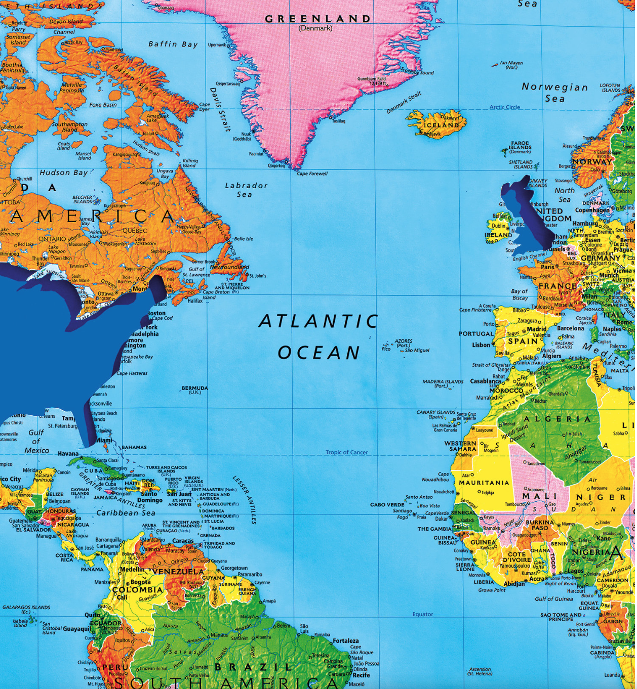
If Santa Claus is global, the image of Santa living in the North Pole outside of sovereign divides has been elevated to a new horizon of expectations in the age of real-time maps. The question of “Where is Santa?” now can be responded to on a real-time viewer, prepared each and every Christmas Eve for over fifty-fie years, the North American Aerospace Command. For since the Cold War, and through the present age of smart phones and real-time tracking, NORADh as invited viewers all over the world the chance to track the gift-laden sleigh of Santa crossing the night-time sky at the speed of starlight. Never mind the different hours and expectations of Santa Claus in different nations or countries. For NORAD allows the world to track the flight of Claus cum reindeers on NORAD’s Santa Tracker, an annual collective exercise in mapping of increasing popularity, moving the image of bearing gifts into the globalized world.

Indeed, the mind-boggling proportions of its popularity, attracting upwards of 20 million individual users in 2011 alone, is a statement not only to its improved UX, but to the versatility of its incorporation of mapping servers better to imagine the itinerary of Santa’s airborne sleigh. For while we once envisioned the night-time flight of Santa Claus far-off and against a starlit sky and full moon, to accentuate the surprise of a magical sled-borne itinerary–
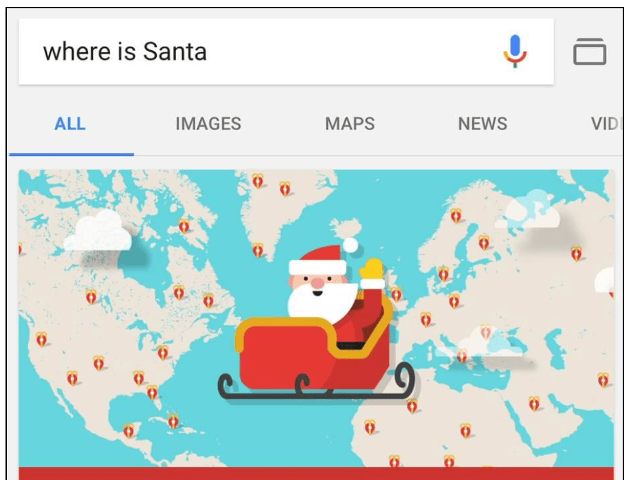
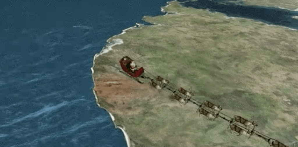
–the Santa Map brings that journey up-close for everyone before a computer monitor, following a sort of sleigh space that is the surrogate for airspace. The remapping of Santa’s itinerary has been done in a way that tracked, as the sleigh’s global progress is intercepted and relayed online in real time from posts of remote observation to viewers around the world. And in an age of global surveillance, there seems to be no reason why Santa’s sleigh cannot as well be surveilled for the interests of children everywhere.
There’s a huge appeal in the ways that the Santa Map creates and imagined community, as much as it embodies an annual itinerary. The interest in tracking Santa’s sleigh has grown considerably in recent Christmas Eves. The huge interest in tracking Santa’s sleigh–and effectively mapping the visits of the airborne sleigh into our hearth–is a way of bringing maps in line with pleasure at a time when we need to look for solace where we can find it, and where we can find a comfort that the onslaught of most maps of contemporary events in fact rarely provide.
Christmas has been a communal but solitary experience–located in the hearth and around the tree, and gift-opening a ritual of individual families–but somewhat serendipitously, the collective witnessing of the Santa Map offers a vicariously removed experience for crowds of viewers, removed from one another but creating the illusion of comprehensively witnessing the arrival of a fictional character to homes everywhere, as if to knit us together in holiday wonder, suspended for the evening in an imaginary international airspace of momentary world peace. In recent years, but perhaps since the Cold War, this particular image of good cheer provides the odd inversion of the danger of the military missile strikes, if not offering the miracle of suspending fears of missile strikes, or the contradictions implicit in imagining peace in a world that lies on the brink of global war by using the very tools to chart missile defense systems as instruments of good cheer. Santa may face a different workweek in the malls where he can now be met in many different nations–as he traverses national borders with different work weeks!–

–but the folks in the U.S. government and NORAD it completely reasonable to have the right to track the geospatial complexity of Santa’s sleigh ride, without removing any mystery out of Christmas holidays. It may be even reassuring that if Christmas Eve is Santa’s busiest hour of flight, the arcs of where reindeers guide his flightpath can be illuminated on our devices, in vivid geospatial specificity and even local detail.
Continue reading