
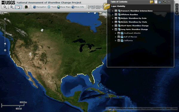
All maps stake propositions: as much as embody geographical information, they make arguments about how a landscape is inhabited. But climate change maps that model future scenarios of warming, increasing dryness, sea-level rise, or glacial melting are propositions in a strict sense, as they construct frames of reference that orient us to, in the very ways Wittgenstein described propositions, “a world as it were put together experimentally.” Shoreline change can be mapped in deep historical time, or over the past century, in interactive ways that reveal and allow us to zoom in on individual sites of sensitivity–
–but the processes of mapping such change cannot rely on contour lines drawn on a base map. For to do so is to abstract a static photograph from a global process that they only compel one to try to better visualize and comprehend. The processes of change are extremely complex patterns of causation that exceed most map-viewers competencies, despite the wide diffusion of claims and counter-claims about global warming and climate change in public discourse, which has effectively increasingly threatened to dislodge the preeminence of any position of expertise on the issue, demoting the actuality to a theory and removing many public statements on its existence from the map of coastal change, or the relation of the land to submerged territory. We are in danger of adopting an increasingly terrestrial or land-locked relation to how climate change affects shores, because we map from the boundary of the landform, as if it were fixed rather than a frontier of interchange and exchange, both above an under ground.
Far more than other maps, maps of climate change demand unique training, skills, and education to unpack in their consequences. And when the propositions staked in maps of climate change have increasingly come under attack for political implications, as if the scenarios of climate change are formed by a cabal of data scientists and climate scientists to advance independent agendas, or a poorly articulated and politicized climate research, it seems that the special skills used to interpret them and the training to view them have come under attack for not corresponding to the world.
Real fears of the danger of the delegitimization of science run increasingly high. But attacking the amazingly dense arrays of data that they synthesize seems to suggest an interest in shutting down the very visualizations that allowed us to conceive and come to terms with climate change. The open suggestion that digitized scenarios of climate maps were only designed to terrify audiences and advance interests not only undermines discussion and debate, but seems a technique to destabilize the emergence of any consensus on climate change. Although the fears of an immediate loss of climate data may be overstated for the nation, the loss of a role in preserving a continuous record of global climate data is considerable given fears of reducing space-based remote sensing. Such observation provide one of the only bases to map global climate data, ranging from aridity to water temperature to temperature change over time. The hard-line stances that Trump holds about climate sciences are expressed in terms of the costs they generate–“very expensive GLOBAL WARMING bullshit,”–but extend to denigration of climate scientists as a “glassy-eyed cult” by science advisor William Happer–who in George W Bush’s Dept. of Energy minimized the effect of man-made emissions on climate change.
Both bode poorly for the continued funding of the research agenda of NASA’s earth sciences division. And the need to preserve a more coherent maps of man-made climate change grow, choosing the strategies to do so command increased attention. The dangerous dismissal of climate sciences as yet another instance of “listening to the government lie to them about margarine and climate change” or prioritizing the political impact of their findings to draw attention to global warming and climate change seems to minimize the human impact on climate and recall the censorship of climate science reports from government agencies by governmental agencies and political appointees from a time when de facto gag orders dissuaded use of the term “global warming” over a period of eight years, a period of the harassment and intimidation of climate scientists. The term of “climate change” seemed agnostic of human agency–unlike Al Gore’s conviction that “global warming” was a global emergency. As well as actively destabilizing ties between human-caused emissions of carbon dioxide and other heat-trapping gases with global warming, Bush asked government agencies investigate “areas of uncertainty” which his successor tried to clarify through explicit research goals.

Yet the role of maps in making a public case for climate change and its consequences seem to have made the project of climate tracking and earth observation under increased attack, as the project of mapping climate is in danger of being removed once again from scientific conclusions about global temperature rise, subsurface ocean temperature rise, or glacial melting–as the ways that climate change maps embody actual environmental risks is effectively minimized.

